Living in Ümraniye: a guide for buyers
An inland district on the Anatolian side that grew from a village into one of Istanbul’s busiest residential and business areas. How it is laid out, how people get around, where they work and shop, and what that means when you choose a flat.
Where Ümraniye is
Ümraniye lies inland on Istanbul’s Asian side, with no shoreline of its own. Üsküdar borders it to the west and Ataşehir to the south; Sancaktepe is to the east, Çekmeköy to the north-east and Beykoz to the north-west. It covers roughly 45 km² and counted 728,913 residents in 2025.
- 728,913Residents at the 2025 address-based count
- 45km²Roughly the district’s land area
- 35Mahalle, the official neighbourhoods
- 1987Year it became a district of its own
Its story is mostly a recent one. In the 1950s it was a village of fewer than 900 people, many with roots on the Black Sea coast. After an organised industrial zone was declared here, migrants from across Anatolia arrived in large numbers through the 1970s and 1980s, and in 1987 Ümraniye was split off from Üsküdar as a district in its own right. The name comes from “ümran”, meaning a place that has developed and prospered.
The 35 mahalle
The district is divided into 35 official neighbourhoods. These names appear on title deeds, in addresses and on most listing portals:
- Adem Yavuz
- Altınşehir
- Armağanevler
- Aşağıdudullu
- Atakent
- Atatürk
- Cemil Meriç
- Çakmak
- Çamlık
- Dumlupınar
- Elmalıkent
- Esenevler
- Esenkent
- Esenşehir
- Fatih Sultan Mehmet
- Finanskent
- Hekimbaşı
- Huzur
- Ihlamurkuyu
- İnkılap
- İstiklal
- Kâzım Karabekir
- Madenler
- Mehmet Akif
- Namık Kemal
- Necip Fazıl
- Parseller
- Site
- Şerifali
- Tantavi
- Tatlısu
- Tepeüstü
- Topağacı
- Yamanevler
- Yukarıdudullu
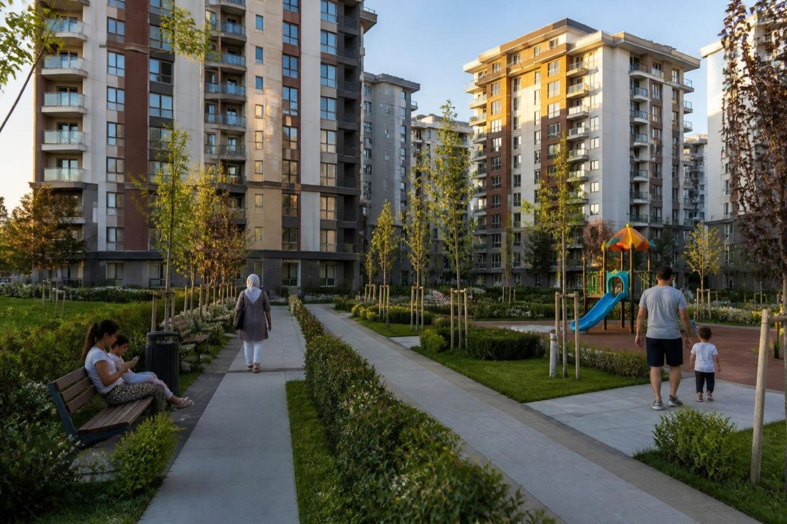
Several mahalleler share their names with metro stations: Yamanevler, Çakmak, Ihlamurkuyu, Altınşehir and Necip Fazıl on the M5, Huzur and Parseller on the M8, and Site, Atakent and Kâzım Karabekir on the M12 now being built. Aşağıdudullu and Yukarıdudullu make up the Dudullu area in the east, Finanskent holds the finance centre, and Tepeüstü is home to the Buyaka towers and shopping centre.
Getting around by metro
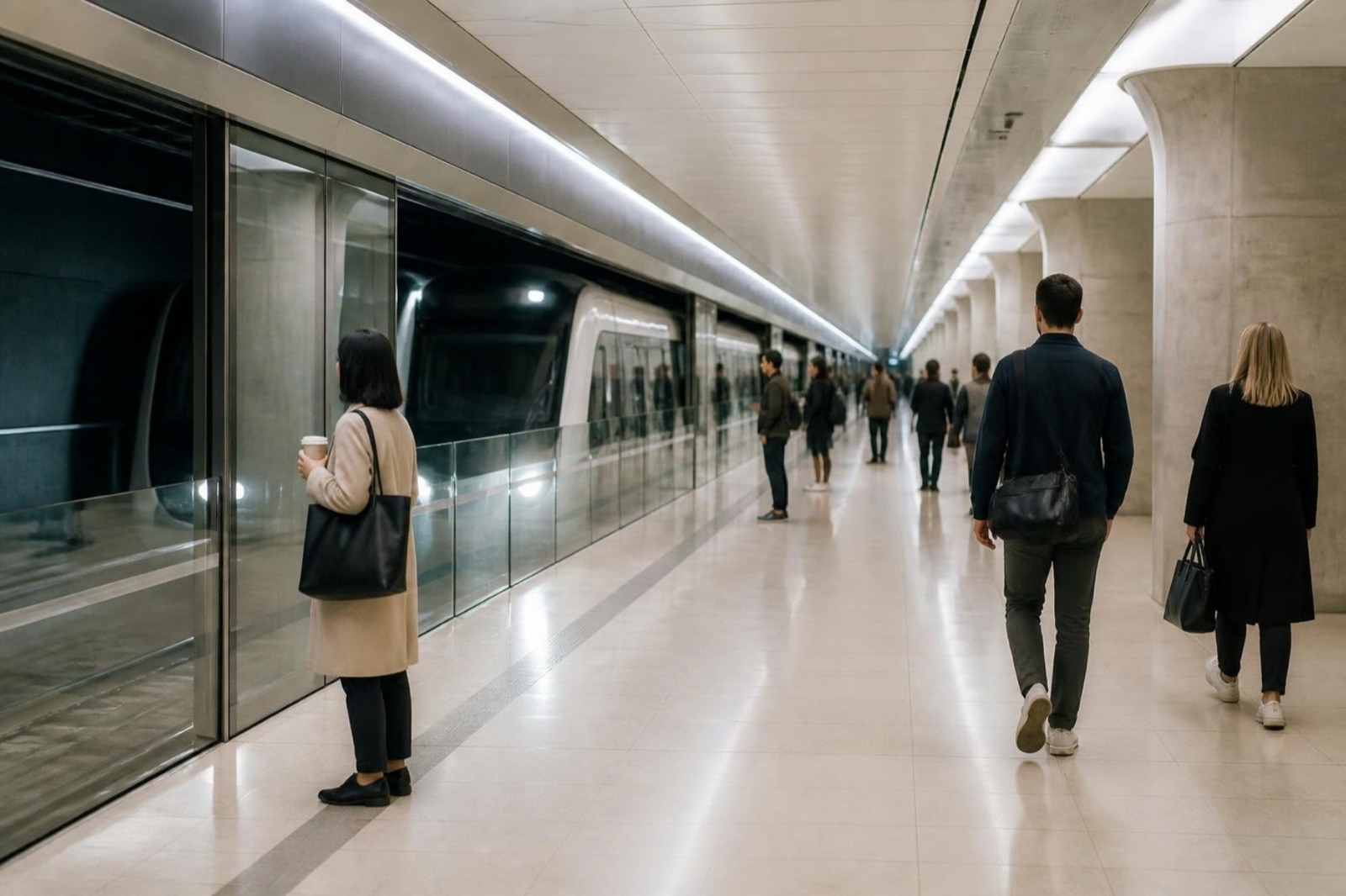
The M5 changed Ümraniye. Its first section, from Üsküdar to Yamanevler, opened on 15 December 2017, and it reached Çekmeköy on 21 October 2018. The trains are driverless, and at Üsküdar you can change to Marmaray for the tunnel under the Bosphorus.
M5 Driverless metro from Üsküdar, where it meets Marmaray, east through the heart of the district
- Ümraniye
- Çarşı
- Yamanevler
- Çakmak
- Ihlamurkuyu
- Altınşehir
- İmam Hatip Lisesi
- Dudullu
- Necip Fazıl
M8 Opened in January 2023, running south to Bostancı; change to the M5 at Dudullu
- İMES
- MODOKO-KEYAP
- Dudullu
- Huzur
- Parseller
M12 Not open yet Under construction towards Ataşehir and Göztepe; the city says it should open in December 2026
- Finans Merkezi
- Site
- Atakent
- Çarşı
- SBÜ Hastanesi
- Kâzım Karabekir
Only the stations inside Ümraniye are shown, listed from west to east.
The M8 opened on 6 January 2023 between Bostancı and Parseller, crossing the M5 at Dudullu. The M12, from Kâzım Karabekir through Çarşı to Finans Merkezi and on to Göztepe, is under construction; the municipality has named December 2026 as its opening date. Until trains actually run, we describe flats by their distance to the lines that are open.
Roads and the Bosphorus bridges
The O-2 ring road runs through the district, with junctions at Çamlık and Ümraniye, and carries traffic across to the European side on the Fatih Sultan Mehmet Bridge. It meets the O-4 Anatolian Motorway at the Ataşehir–Ümraniye junction. For the 15 July Martyrs Bridge, drivers join the O-1 at the Altunizade or Çamlıca junctions just over the boundary in Üsküdar. The Northern Marmara Motorway has no junction inside Ümraniye; its nearest ones are in Çekmeköy and Sancaktepe.
Where people work and shop
Istanbul Finance Centre
Opened on 17 April 2023 in the Finanskent neighbourhood, on Ümraniye’s border with Ataşehir. The M12 will have a station there.
Dudullu Organised Industrial Zone
In Yukarı Dudullu and almost fully occupied, with the İMES station on the M8 at its edge.
Shopping centres
Meydan (2007, designed by Foreign Office Architects), Canpark, Akyaka Park, Metrogarden and Buyaka, which opened in Tepeüstü in 2012 with office towers and a residential tower. Istanbul’s first IKEA also opened here.
For a buyer this matters in two ways: living close to work is a realistic option here, which is worth weighing if you plan to let the flat, and with so many shopping centres most errands need no trip across the city.
Parks, hospitals and study
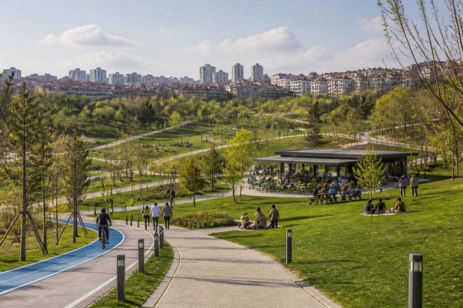
Hekimbaşı Millet Bahçesi, a “nation’s garden” opened in November 2021, gave the district a large new park with walking and cycling routes, playgrounds, picnic areas and a viewing terrace.
The main public hospital is the University of Health Sciences’ Ümraniye Training and Research Hospital in Elmalıkent, which opened as a state hospital in 2002 and will have its own stop, SBÜ Hastanesi, on the M12. Doğuş University has its campus in Dudullu.
Old blocks, new blocks
Because so much of Ümraniye was built quickly during its years of rapid growth, urban renewal (kentsel dönüşüm) is part of everyday property talk here. In April 2023 the mayor said 3,233 buildings in the district had already been renewed, and that applications had multiplied after the February 2023 earthquakes. In practice you will see three kinds of stock: older blocks, blocks rebuilt on the same plot, and newer gated complexes with shared facilities.
For any older building we find out the construction year, whether a renewal decision exists, and what the owners have agreed among themselves before you make an offer.
Choosing where to buy in Ümraniye
Begin with the trip you will make most often, then match it to a part of the district.
Central Ümraniye, on the M5
Suits anyone heading to Üsküdar, Marmaray or the European side every day. Time the walk to the station yourself.
Dudullu and the M8 side
Two lines meet at Dudullu, and the industrial zone is close. Check what lies next to the building, not just the flat itself.
Finanskent, Site and Atakent
Close to the finance centre and the Ataşehir border, with the M12 being built through it. Check the walk to the nearest station that is open today.